Our team supplies the best services that are also affordable for our customers and is available to supply technical support and answer any questions you may have about our services so that you can feel confident in your choice.
Remote Sensing and Image processing
Digital satellite image processing.
Apply satellite image classification process.
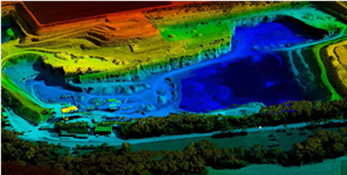
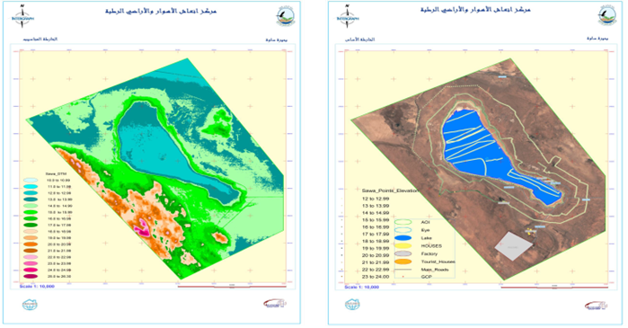
Digital Elevation Models production.
Apply Satellite and Aerial Triangulation.
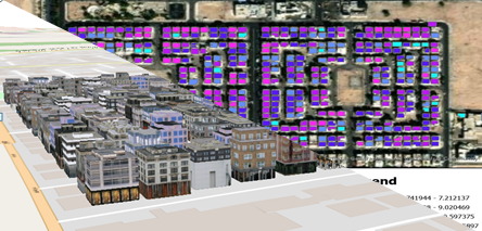
Urban planning techniques
Design, and management of urban spaces.
Implementation of master plan outlines for cities
Smart cities planning implementation.
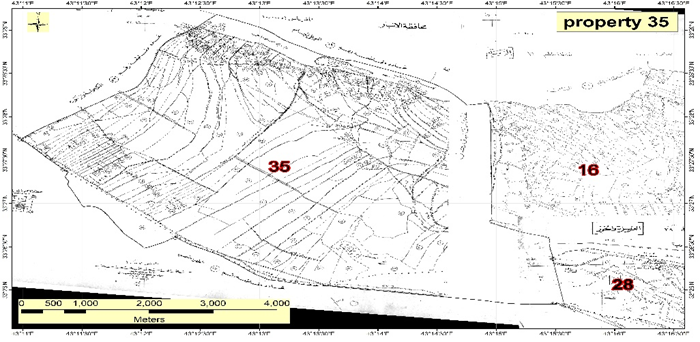
Apply digital transformation for old paper cadastral maps involves applying georeferencing, updating and building geodatabase.
Spatial analysis techniques
Analyzing, evaluating, assessing, and modeling geographical data elements that show the geometric or geographic qualities of the data, such as locations, attributes, and their connections.
2D and 3D maps production
Produce 2D and 3D traditional and digital maps for all features using modern software.
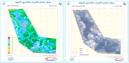
Hydrology techniques
Implementation of hydrology projects by applying analyzing, processing, and building geodatabase.